
Download Atom GPS – Geotag, GPS, EXIF, Photo Metadata, Map, Camera, Digital Photography
Overview
Atom GPS is a focused utility designed to simplify the process of geotagging digital photographs. The app enables users to embed precise geographical coordinates into the EXIF metadata of their images by syncing with compatible GPS devices. This functionality is particularly valuable for photographers, travelers, and outdoor enthusiasts who want to preserve the exact location where each photo was captured. By accurately tagging images with GPS data, users can enhance storytelling, improve photo organization, and enable visual navigation through their image archives.
Designed by Jason A. Bilbrey, the app has been available since May 30, 2014, reflecting a long-standing commitment to a niche but essential need in digital photography. Although the developer did not provide additional technical details, the app’s continued presence on Android suggests reliability and consistent performance over time. Atom GPS is especially useful for users working with digital cameras that lack built-in GPS capabilities, allowing them to retroactively assign location data to their images.
Real-world applications include travel documentation, wildlife photography, real estate listings, and journalistic fieldwork. In each case, the ability to map and verify the origin of images adds credibility and context. The app fills a gap in the mobile photography ecosystem by offering a lightweight, dedicated tool for metadata management without the complexity of full-featured photo editors.
Key Features & Functionality
- Easy Geotagging: Users can quickly link their photos to GPS data from an external device. The process involves uploading image files and syncing them with a corresponding GPS log, allowing automatic assignment of location data.
- EXIF Data Editing: The app allows users to modify geographical metadata within the EXIF header while preserving other critical image details such as date, time, and camera model.
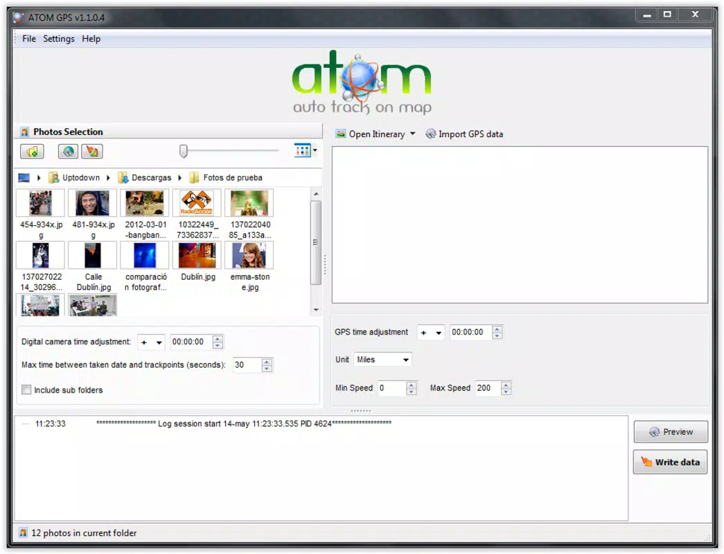
- User-Friendly Interface: Atom GPS features a clean, intuitive layout that guides users through each step of the geotagging process. Even non-technical users can navigate the workflow with minimal learning curve.
- Wide Compatibility: The application supports a broad range of digital cameras and GPS devices, ensuring that users can work with various image formats and data logs without compatibility issues.
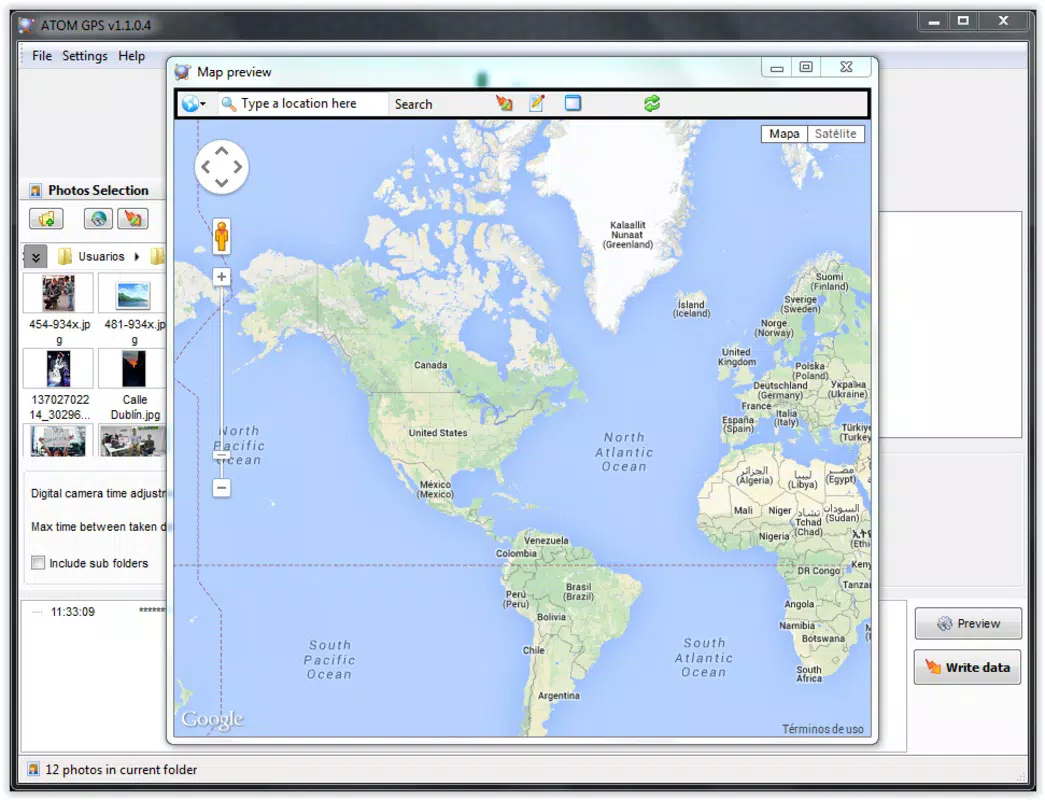
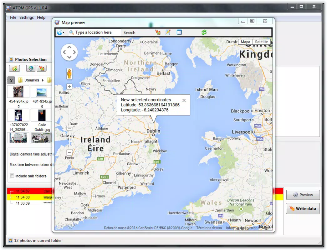
- Map Integration: After processing, the app displays a map interface that visually represents the location of each geotagged photo, enabling users to verify accuracy and organize their media spatially.
For example, a travel photographer can use a GPS logger during a hiking trip, then later use Atom GPS to assign precise coordinates to their photos. Similarly, a real estate agent might geotag property photos to provide accurate location references for listings. The app’s ability to work with external GPS logs makes it a flexible solution for users who rely on external hardware.
Interface, UX & Performance
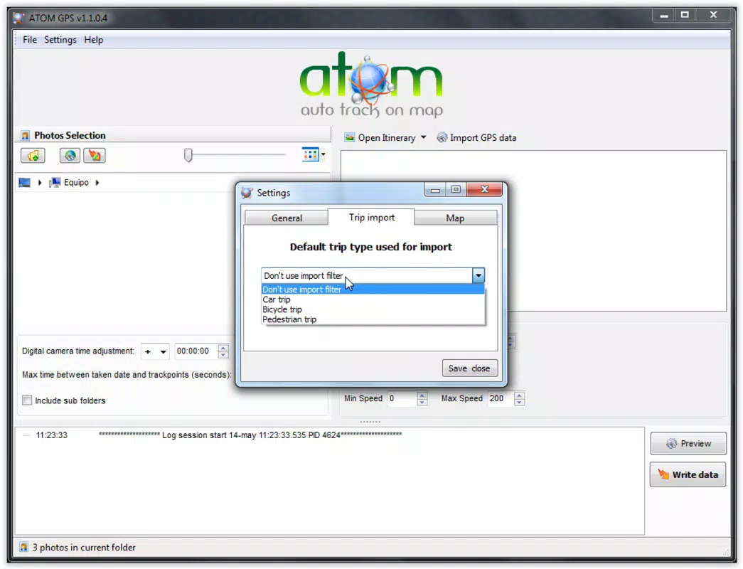
Atom GPS presents a minimalist interface that prioritizes functionality over visual flair. The layout is straightforward, with clearly labeled buttons and a logical sequence for uploading files, selecting GPS logs, and reviewing results. Navigation is consistent across screens, reducing the likelihood of user confusion.
Although the developer did not list formal performance metrics, the app’s small file size of 3.1 MB suggests efficient resource usage. It is likely optimized for older Android devices, making it accessible to users with lower-end hardware. The app responds promptly to user inputs, and transitions between steps are smooth, indicating stable operation.
Users can expect consistent performance when processing standard batches of images. The app does not appear to require high processing power or extensive memory, which contributes to its reliability. Stability is further supported by its long availability on the platform. However, specific requirements for device compatibility were not fully disclosed.
Platform Compatibility & Technical Requirements
Atom GPS is available exclusively on the Android platform. The current version is 1.5.1, released on May 30, 2014. The app has a file size of 3.1 MB, making it a lightweight download suitable for devices with limited storage.
While the app is free to download and use, the developer did not specify minimum OS requirements or hardware capabilities. As such, users should exercise caution when installing on older or non-standard Android devices. Compatibility information was not fully disclosed, so installation may vary depending on the device’s configuration.
Pros and Cons
Pros
- Free to download and use with no in-app purchases
- Small file size enhances accessibility on low-storage devices
- Supports a wide range of cameras and GPS devices
- Preserves original image metadata while updating geolocation data
- Intuitive interface suitable for users of all technical levels
Cons
- Platform limited to Android; no iOS version available
- Outdated release date raises concerns about modern OS support
- Developer did not provide detailed technical specifications
- Limited to geotagging; lacks advanced photo editing features
- Compatibility with newer Android versions not confirmed
FAQ
Is Atom GPS safe to download and install?
Yes, the app is free and available through official Android channels. As it does not request excessive permissions and has a small footprint, it is considered secure for standard use.
Can I use Atom GPS with any GPS device?
The app supports a variety of GPS devices, but compatibility depends on the device’s ability to generate compatible log files. Users should ensure their GPS device outputs data in a format recognized by the app.
Does Atom GPS work with iOS devices?
No, Atom GPS is currently only available for Android. There is no official version for iOS.
How do I update Atom GPS?
Updates are available through the Google Play Store. However, since the last release was in 2014, no recent updates have been issued.
What file formats does Atom GPS support?
The app supports common image formats used by digital cameras. Specific formats were not listed, but the developer claims broad compatibility with most standard photo files.
Final Thoughts + CTA
Atom GPS remains a niche yet powerful tool for photographers and professionals who rely on accurate geolocation data in their image files. Despite its age, the app delivers on its core promise: efficient, reliable geotagging with minimal overhead. Its lightweight design, free access, and compatibility with various GPS logs make it a practical choice for users working with external hardware.
While the lack of recent updates and iOS support may limit its reach, those on Android who need a no-frills geotagging solution will find value in its straightforward functionality. For travelers, journalists, and outdoor photographers, the ability to map and verify photo locations adds significant context and utility.
Download Atom GPS now to enhance your digital photography workflow with precise, location-based metadata.


